Polonnaruwa was Sri Lanka’s medieval capital between the 11th and 13th centuries. Enclosed within three concentric walls, the city contained royal palaces, bathing ponds, monasteries and sacred architecture such as dagobas and image houses. Its grandeur was largely the creation of three kings, Vijayabahu, Parakramabahu and Nissanka Malla, although the last-mentioned emptied the coffers in doing so. At nearly 1000 years old, Polonnaruwa is one of Sri Lanka’s ancient capital cities (and part of the famous ‘Cultural Triangle’).
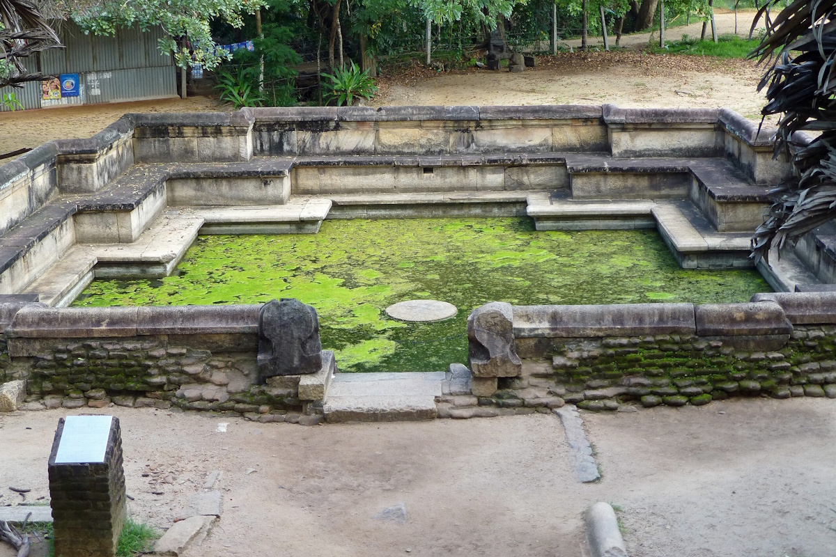
Polonnaruwa, the second ancient capital of Sri Lanka, rose to prominence in the 11th century CE following the decline of Anuradhapura. Though its era as the capital was relatively brief, Polonnaruwa witnessed a golden age of art, architecture, and irrigation engineering, leaving behind some of the most remarkable ruins on the island.
Chola Conquest & Sinhalese Revival: After the South Indian Chola dynasty invaded and took control of Anuradhapura, they established Polonnaruwa as their regional center. However, it was King Vijayabahu I who liberated the island in 1070 CE and made Polonnaruwa the new capital. His reign marked the beginning of the city’s cultural renaissance.
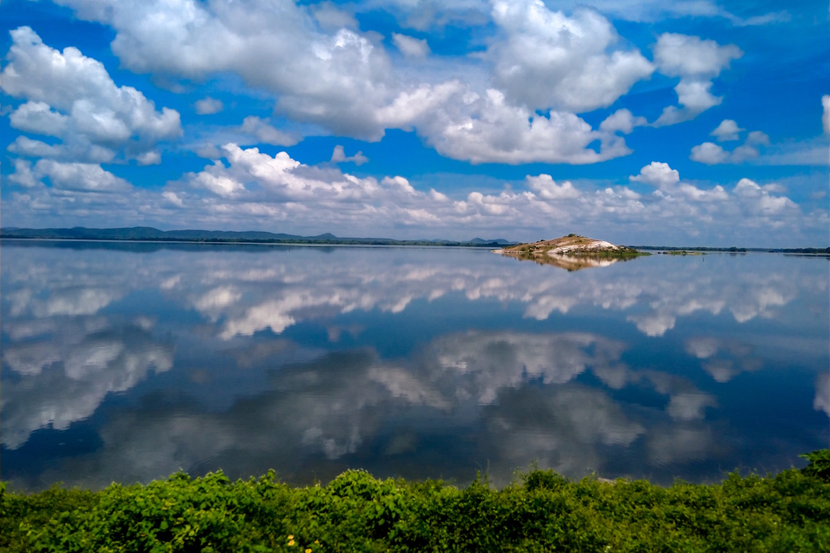
Golden Age under King Parakramabahu I: The city reached its zenith under King Parakramabahu I (1153–1186 CE), who unified the country and launched massive development projects. He constructed elaborate gardens, palaces, temples, and an intricate network of reservoirs—most famously the Parakrama Samudra (Sea of Parakrama), a colossal man-made lake still in use today.
Art and Architecture: Polonnaruwa became a hub for Buddhist scholarship and artistic excellence, with its stone sculptures, image houses, and dagobas reflecting refined craftsmanship and profound spiritual symbolism.
Decline and Abandonment: After the death of Parakramabahu, the city slowly declined due to internal strife and invasions by Tamil and Indian forces. By the 13th century, the capital was shifted again, and Polonnaruwa was abandoned to the jungle.
Today, Polonnaruwa stands as a UNESCO World Heritage Site and one of the best-preserved ancient cities in Sri Lanka. Unlike Anuradhapura, the ruins of Polonnaruwa are more compact and better restored, making it ideal for exploration.
Tourism and Accessibility: The ancient city is a popular destination for both foreign tourists and local school groups. It is relatively easy to navigate by bicycle or tuk-tuk, with guided tours available for deeper insight.
Conservation: Thanks to preservation efforts, many of the key monuments remain in remarkable condition. The Archaeological Museum in Polonnaruwa offers historical context and models of what the city may have looked like at its peak.
Modern Town: The new town of Polonnaruwa lies a short distance from the ancient ruins. It offers modest accommodations, eateries, and transport facilities for travelers, all within a tranquil, semi-rural atmosphere.
Polonnaruwa lies in the North Central Province of Sri Lanka, on the eastern flank of the island’s dry zone. It is surrounded by farmland, forests, and reservoirs that reflect both the natural and man-made beauty of the region.
Geography: The city is nestled between verdant paddy fields and ancient irrigation tanks. The iconic Parakrama Samudra, an artificial lake covering over 2,500 hectares, dominates the landscape and continues to support agriculture in the region.
Climate: Like Anuradhapura, Polonnaruwa has a tropical dry zone climate. Daytime temperatures typically range from 27°C to 35°C, with the hottest months being April to August. Rainfall is most common from October to January during the northeastern monsoon.
Polonnaruwa’s archaeological park is compact yet filled with awe-inspiring monuments. The city’s layout and architecture demonstrate a high degree of planning and reverence for Buddhist and Hindu spiritual traditions.
Royal Palace of King Parakramabahu
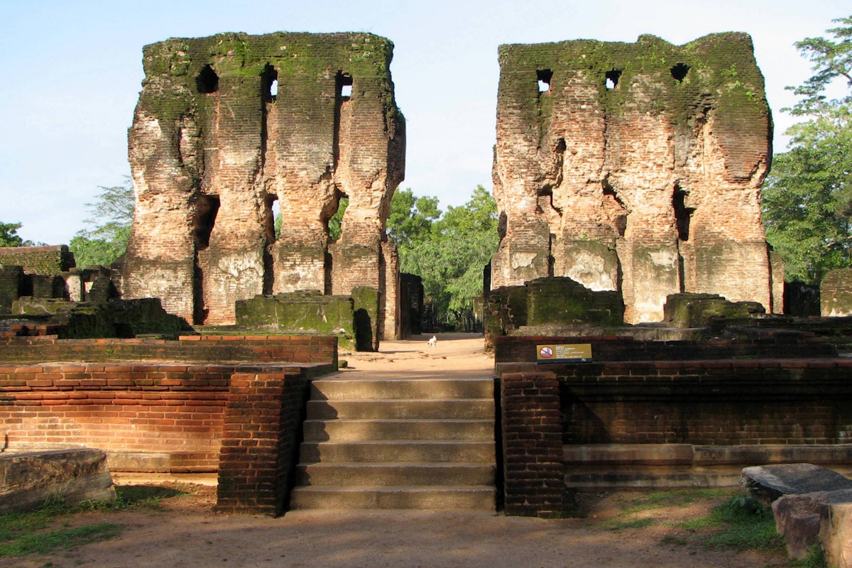
Once a seven-story marvel with over 1,000 rooms, only the thick walls and foundations remain today. The nearby council chambers still display intricate stone carvings and regal pillars.
Quadrangle (Dalada Maluwa)
A sacred area with a cluster of exquisite structures including:
Vatadage – A circular relic house with ornate stonework, housing four Buddha statues.
Hatadage – Once housed the Sacred Tooth Relic.
Atadage, Nissanka Latha Mandapaya, and Thuparama – All stunning remnants of Polonnaruwa’s Buddhist heritage.
Gal Vihara (Rock Temple)
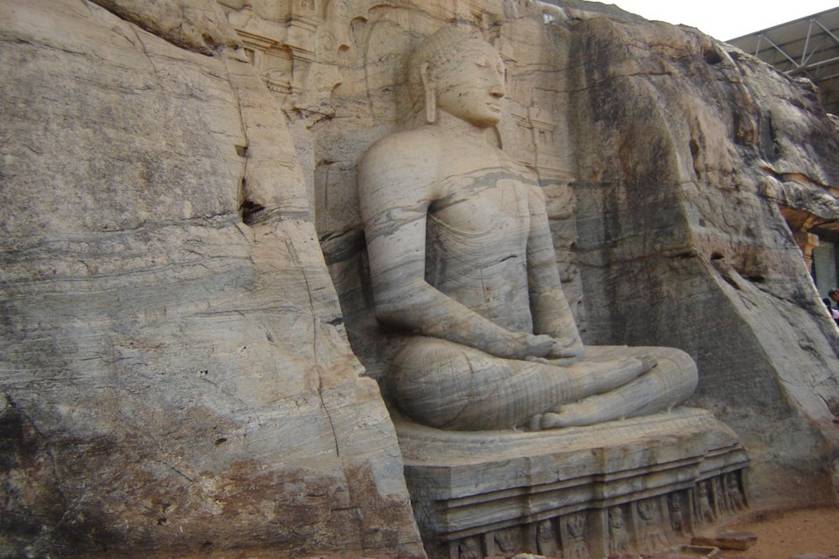
This masterpiece of Sinhalese rock carving features four massive statues of the Buddha, sculpted from a single granite rock. The serene reclining Buddha, standing figure, and seated images radiate spiritual tranquility.
Rankoth Vehera
The largest stupa in Polonnaruwa, built in the tradition of Anuradhapura stupas. It stands 55 meters tall and was built by King Nissanka Malla.
Lankatilaka Image House
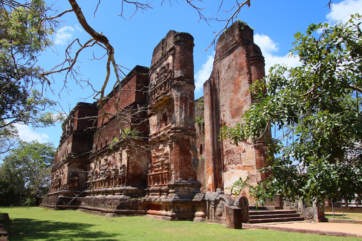
A towering brick shrine housing a giant standing Buddha statue. The roof is no longer present, but the scale and craftsmanship are awe-inspiring.
Shiva Devalaya No. 1 & 2
Reflecting the religious diversity of the city, these are well-preserved Hindu shrines built in South Indian architectural style.
Pabalu Vehera
A somewhat lesser-visited but peaceful stupa believed to have been built by Queen Rupavati, King Parakramabahu’s consort.
Parakrama Samudra
A vast reservoir designed by King Parakramabahu I. Its sheer size and engineering brilliance are symbolic of the king’s philosophy: “Not one drop of water must flow into the ocean without serving the people.”
Statue of Parakramabahu
A massive statue carved into rock, thought to represent King Parakramabahu I. Some believe it depicts a sage or scholar instead. Its intense gaze and detail captivate visitors.
Archaeological Museum
Offers detailed models, descriptions, and artifacts that enhance your understanding of the ancient city and its builders.
Minneriya National Park (nearby)
Located just 30 minutes away, this park is famous for the “Elephant Gathering”—the largest seasonal meeting of wild Asian elephants in the world.